Publicado: 15/12/2025
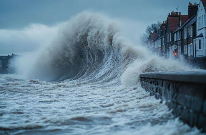
improving flood predictions through satellite data
Boletín

Deltares Digest

Deltares Digest

Improved flood predictions through satellite data and modelling

­
Deltares is using satellite altimetry and advanced modelling to improve coastal flood forecasts in data-scarce regions. The ESA-funded FRACCEO project combines global datasets with Delft3D and SFINCS models, tested in cities like Hamburg and Manila. These insights will help vulnerable communities plan for extreme events.
­

VER LA PUBLICACION

Autor/es: DELTARES
Editor/es: DELTARES
Temas del Agua:
Organizaciones Relacionadas: